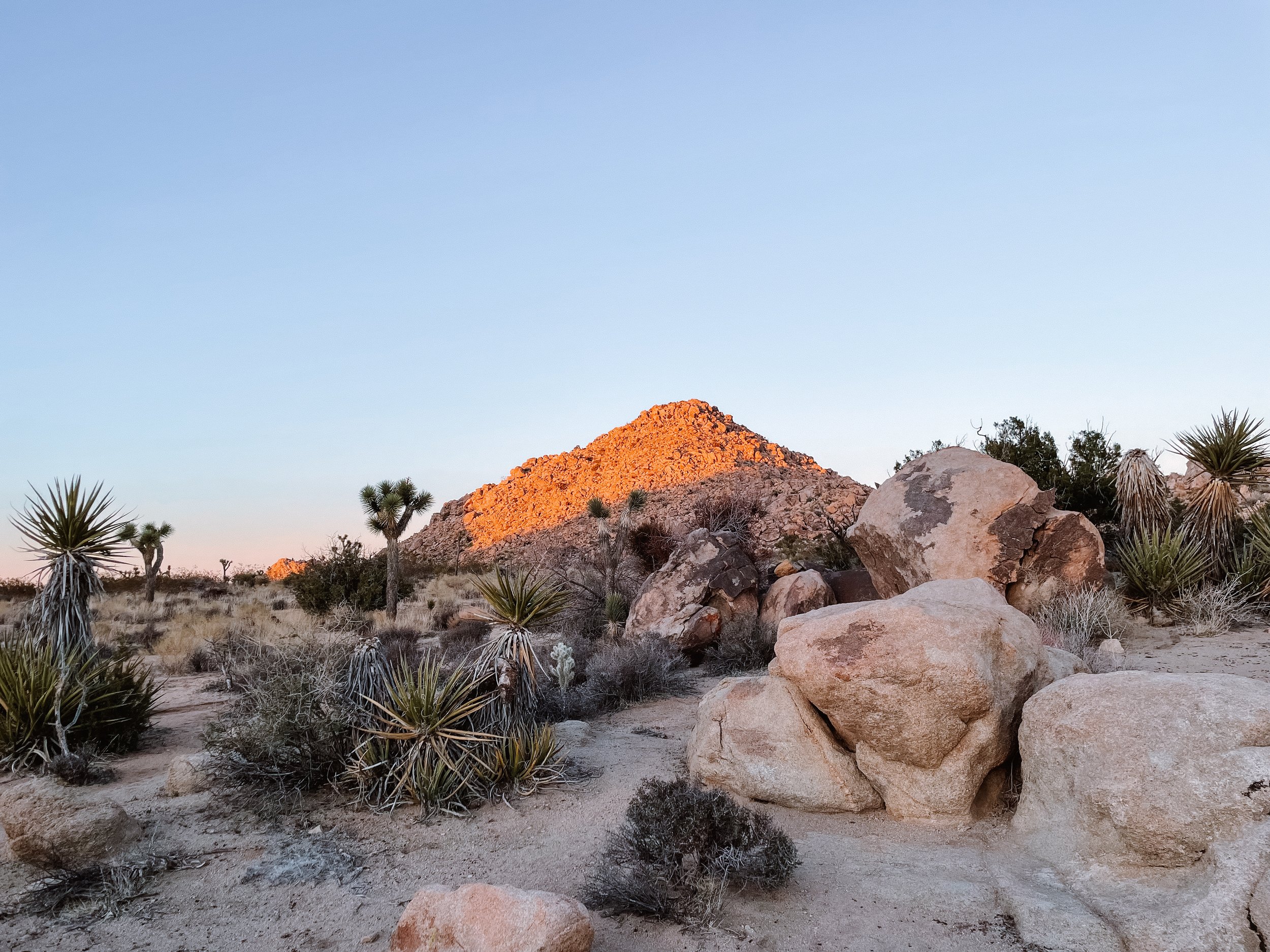
Death Valley National Park
Death Valley National Park: Travel Guide
Death Valley National Park is located on the border of eastern California and Nevada and is the largest national park in the contiguous United States comprised of 3 million acres. It has also been recorded as the hottest place on Earth! This unsuspecting desert landscape is home to so many beautiful things to see including canyons, mountain peaks, salt pans, sand dunes and more.
In this article:
Visiting Death Valley National Park
Death Valley National Park is vast and remote and requires some planning to visit. The park is located about 2 hours away from Las Vegas via the East entrance and about 4 hours away from Los Angeles via the West entrance. The nearest small towns are Lone Pine, California and Beatty, Nevada. We recommend camping overnight to be able to catch sunset and sunrise in this beautiful place - as well as stargazing in the dark sky!
Related Blog: Sequoia National Park
When To Visit Death Valley
The best time to visit Death Valley National Park is in the spring. The park is usually warm and sunny with spring wildflowers blooming in the desert! Winter is another good time to visit, but can often bring rain and even flooding, so check the weather and roads ahead of visiting in those months. The hottest time of year to visit Death Valley is from June to September.
Related Blog: Lassen Volcanic National Park
Things To Do in Death Valley National Park
Badwater Basin
One of the best things to do in Death Valley National Park is visit Badwater Basin. This vast salt flat is the lowest point in North America at 282ft (86m) below sea level! This is such a unique place to see in California and worth the stop to walk out onto the basin and take in the surrounding mountains. Look out for the small ‘Sea Level’ sign on the mountains as you walk back to your car.
Location: Badwater Road
Devil’s Golf Course
Devil’s Golf Course is another salt pan in the park that was given its name because ‘only the devil could play golf on this surface’. This is slightly off the beaten track compared to the rest of the places on the list so if you’re looking for something a bit less crowded, this is the place to stop. You can walk onto the salt pan, just be cautious not to trip when stepping on the jagged salt.
Location: Salt Pool Road, an unpaved one mile road.
Zabriskie Point
Zabriskie Point is a very popular spot in the park. This small vista looks out onto the amazing shades and ripples in the rock. This is a great spot for photography, especially at sunrise and sunset and it can get crowded at these times! It is named after Christian Zabriskie who was a prominent figure in the 20th century Pacific Coast Borax Company, that was located in Death Valley.
Location: Zabriskie Point Road, just off the 190.
Artist’s Palette
Another popular spot for photography and hiking is Artist’s Palette. In this area of Death Valley National Park, oxidation of certain metals & elements found in the rocks cause an array of colours on the mountains hence the name artist’s palette. The road alone is very beautiful and worth driving even if you don’t stop to get out.
Location: Take Artist’s Drive which is a 9 mile one-way road to the view point, Artist’s Palette.
Mesquite Flat Sand Dunes
The largest and most accessible sand dunes in Death Valley National Park are the Mesquite Flat Dunes. These beautiful dunes are amazing to see and spend time walking around, especially in the morning. This is a great stop and unlike other areas of the park, sandboarding is permitted at the Mesquite Flat sand dunes. Be aware, rattlesnakes live in the Mesquite Flat dunes.
Location: Head down Scotty’s Castle Road and then turn left onto Stovepipe Wells Road.
Golden Canyon Trail
Golden Canyon Trail to Red Cathedral is a popular and scenic hike to do in Death Valley. The canyon got its name from the yellow golden canyon walls that you walk between on this trail. The 2.9 mile (4.6km) out-and-back trail can get busy and has limited parking spaces, so be sure to arrive early. There is also a longer hike that you can take from here to Zabriskie Point!
Location: Badwater Road, near Badwater Basin.
Father Crowley Point
Father Crowley Point is a viewpoint above Rainbow Canyon, usually referred to as Star Wars Canyon. The canyon is used for aviation training purposes which can sometimes be seen when you stop here, but after an accident in 2019 jet sightings are a rare occurrence.
Location: Close to the West Entrance of the park, just off the 190.
Harmony Borax Works
For some history of Death Valley and to see how Borax in the area was transported on the huge wagons by the twenty-mule team, take the short Harmony Borax Interpretive Trail. This is a short stop with some signs to read and artifacts to walk by.
Location: Borax Mill Rd, close to the Furnace Creek area.
Related: Joshua Tree National Park Travel Guide
Tips for Visiting Death Valley
Make sure to fill up on water, gas, food and supplies before entering the park!
There is no phone service in the park, so be sure to grab a map at the entrance or a visitor center on your way in if it’s your first time.
This park is known for its extreme temperatures, remember to pack plenty of water and sun protection.
Did you find this post useful? Save this pin to your California Travel board on Pinterest!


